
Photo Listing
THIS WEEK IN PHOTOS
-
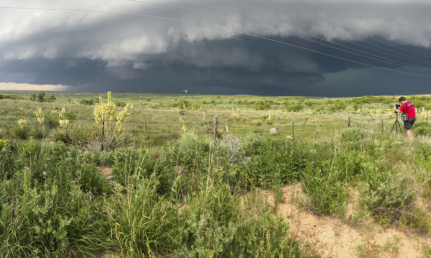 A well-developed supercell thunderstorm with a shelf cloud and mesocyclone approaches from the north near Dalhart, Texas as Matt Burnett 20 takes photos of the storm.
 -
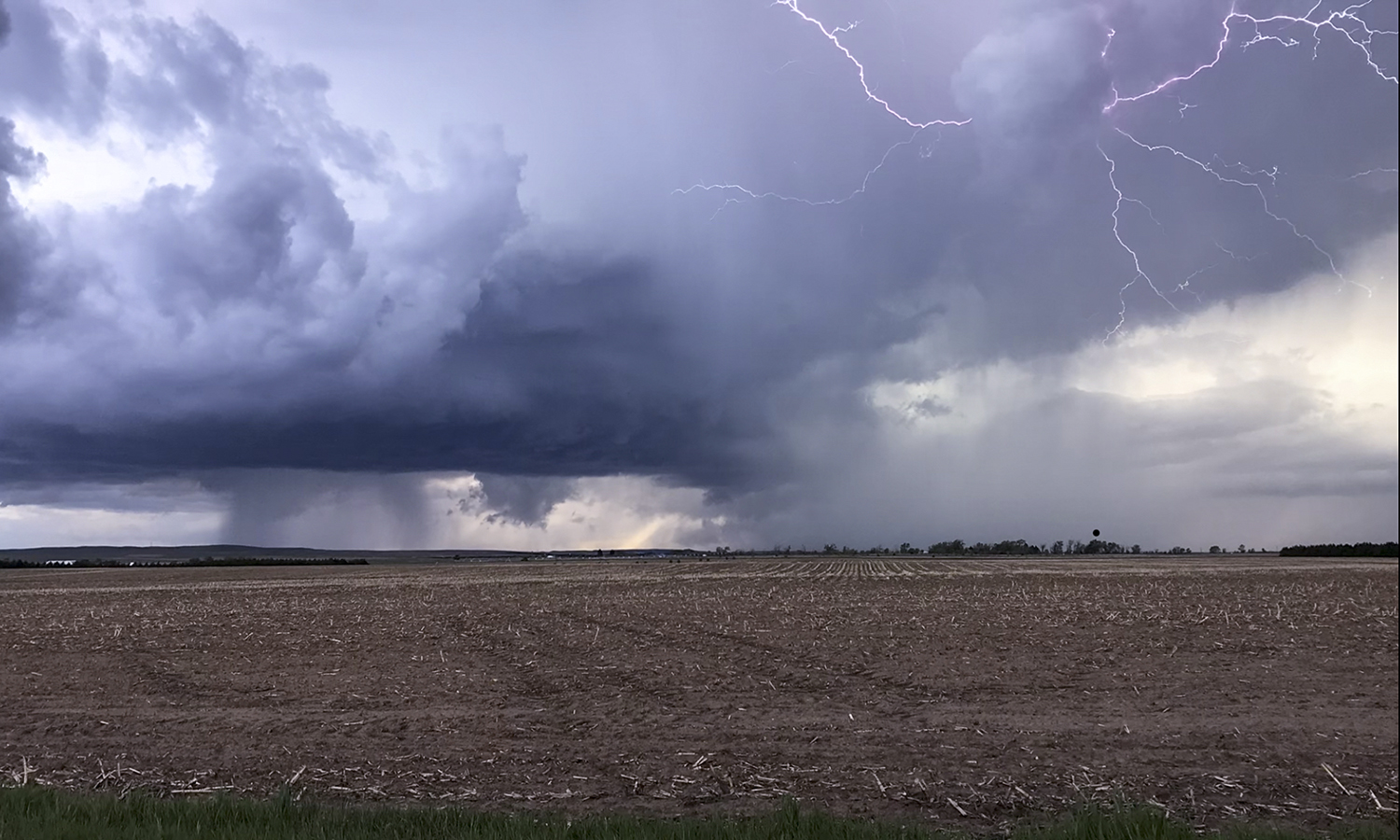 Intra-cloud lightning is captured within a supercell thunderstorm in the panhandle of Texas. The portion of the storm under the lightning is producing hail while the area to the left below cloud base is rain.
 -
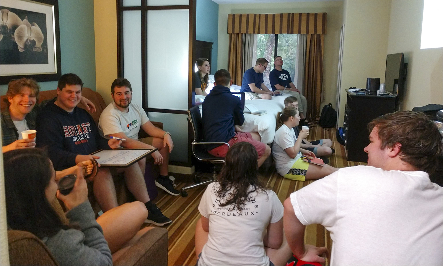 GEO 299 students conduct daily weather briefings to discuss and determine the location and timing of severe storms, as well as the best course of action to intercept storms on each day.
 -
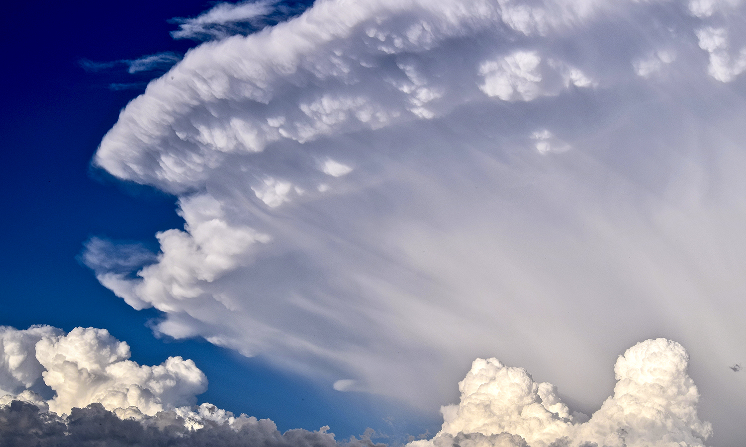 The anvil of a large supercell thunderstorm grows in the background during the late afternoon as the air near the top of the storm spreads outward from the thunderstorm. New cumulus clouds grow in the foreground.
 -
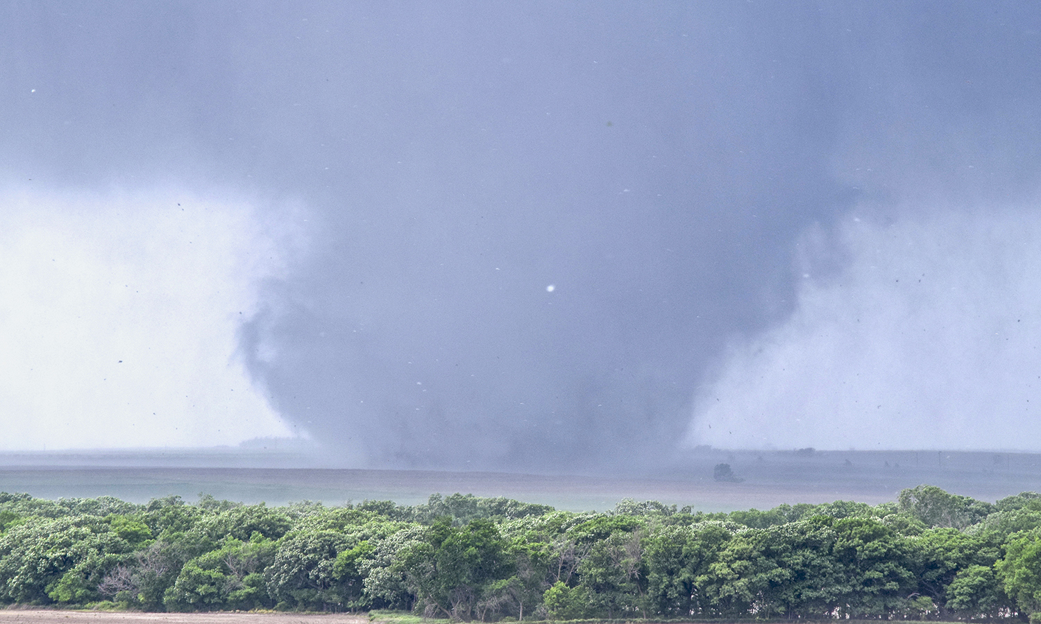 The Tipton, Kansas supercell eventually produces a large multiple-vortex tornado which was on the ground for more than 25 minutes and produced damage associated with an EF-2 rating.
 -
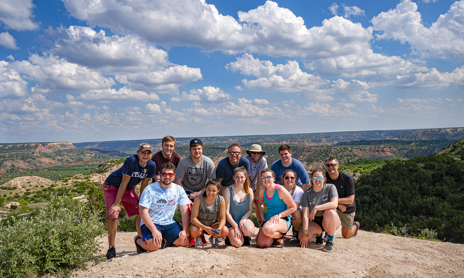 During a down day when no severe weather was occurring across the Central Plains, the GEO 299 group visited Palo Duro Canyon near Amarillo, Texas.
 -
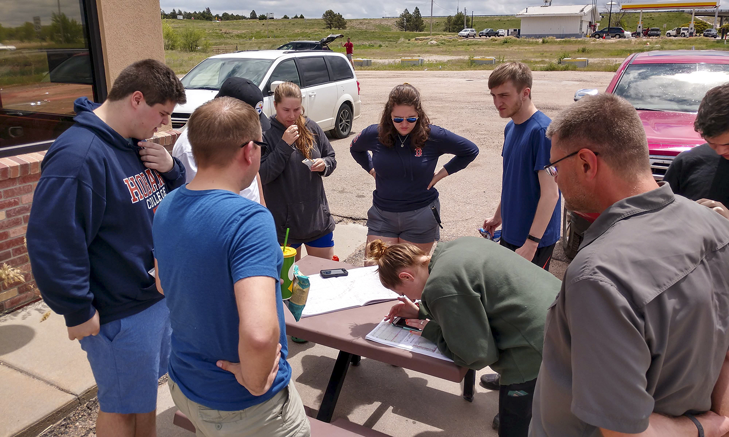 GEO 299 students and faculty plot their next move during a lunch stop and weather discussion near Julesburg, Colorado.
 -
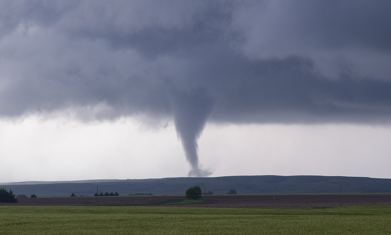 A supercell thunderstorm produces nine tornadoes at different times over about 90 minutes near Tipton, Kansas as the group observes. Here, one of the more well-defined of these nine tornadoes is visible extending downward from the thunderstorm cloud base.
 -
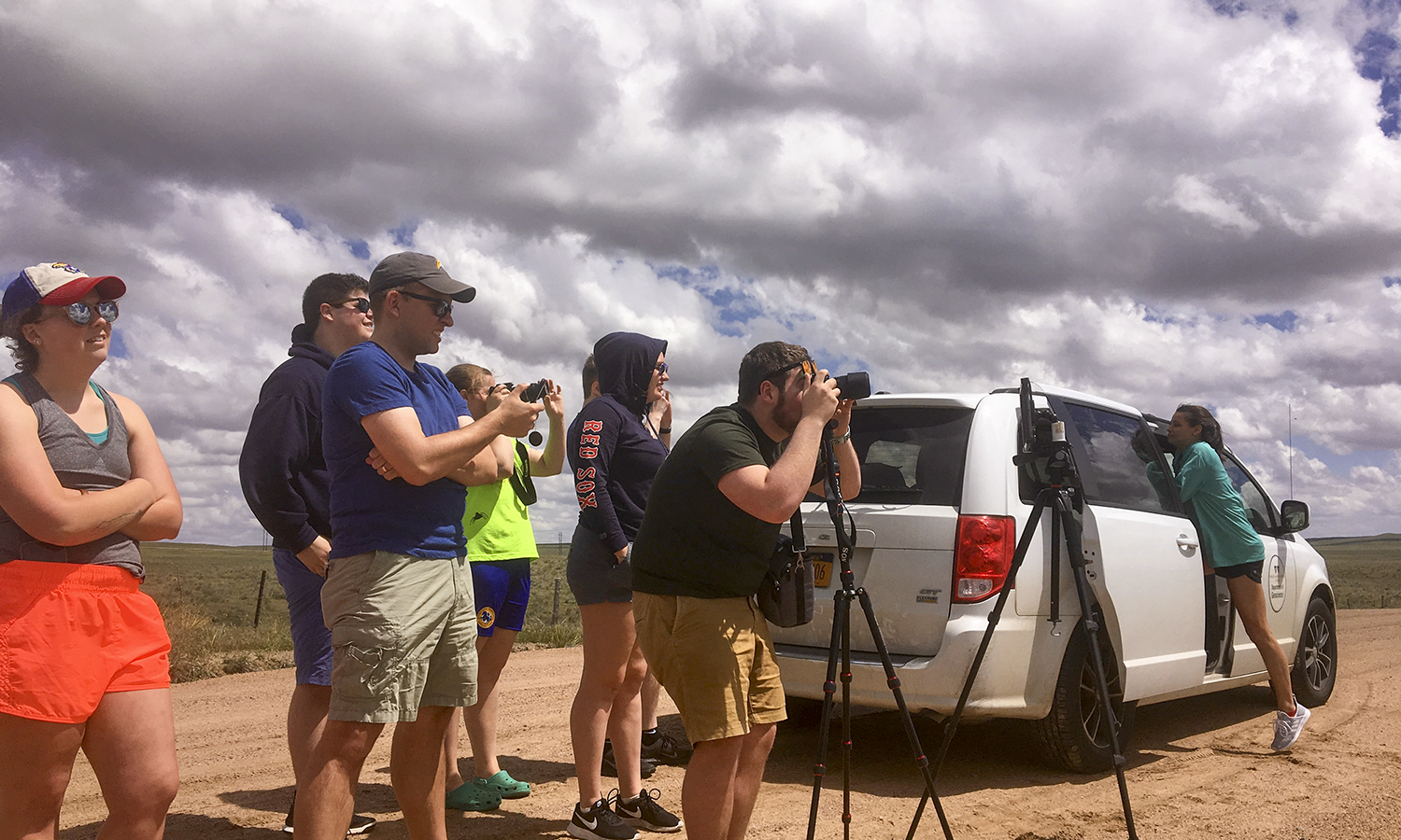 GEO 299 participants capture convective development with photos and video in the panhandle of Texas as the clouds begin to build.
 -
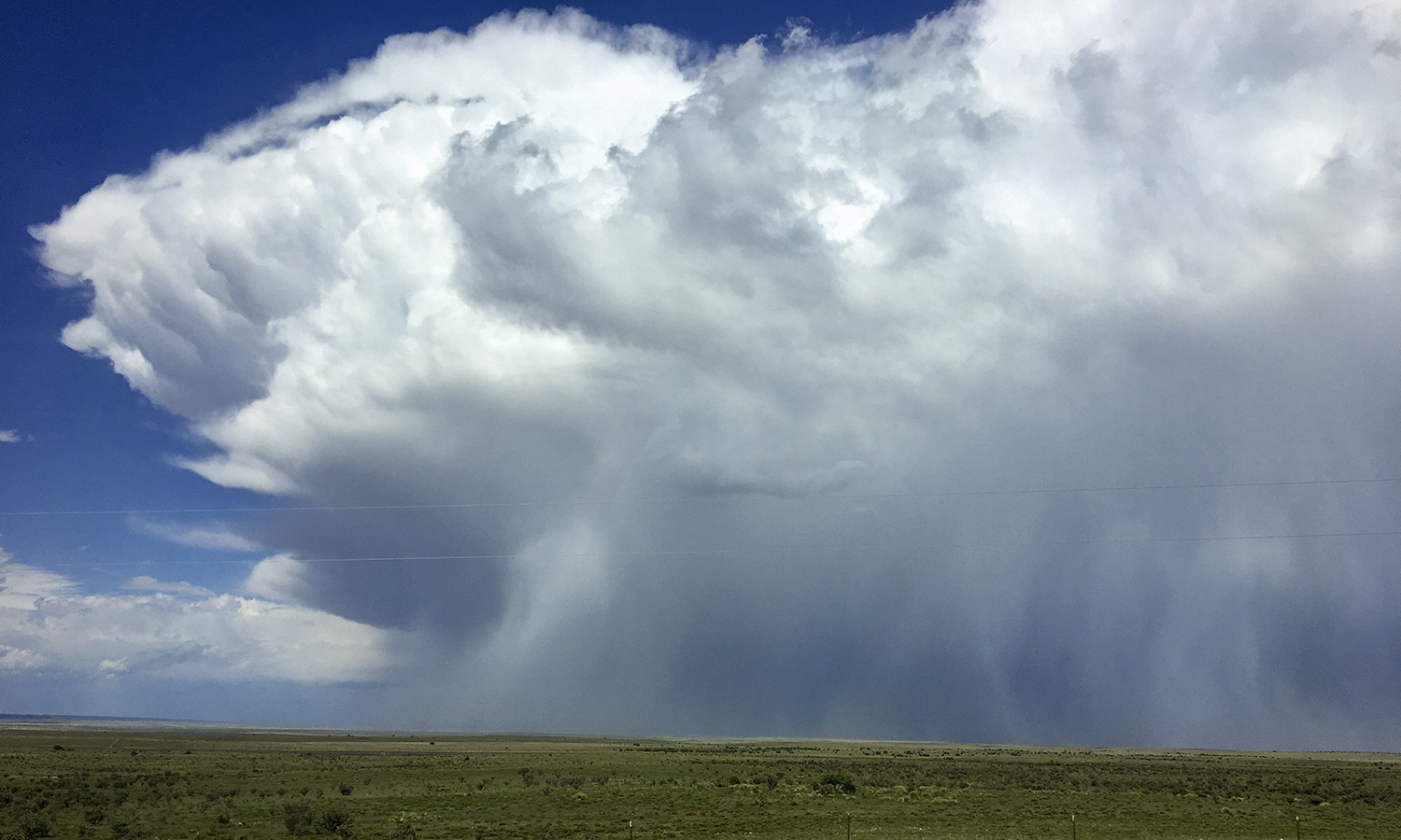 Multiple hail shafts (white streaks extending toward the ground) are observed with a thunderstorm near Vaughn, New Mexico.
 -
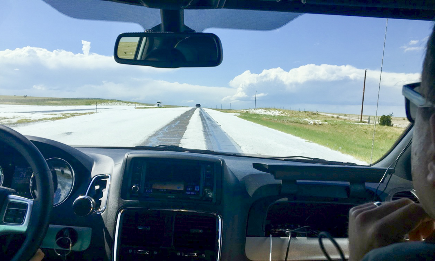 The thunderstorm near Vaughn, New Mexico produces nearly two-inches of hail accumulation that covers the area where the storm passes over, including across the highway.
 -
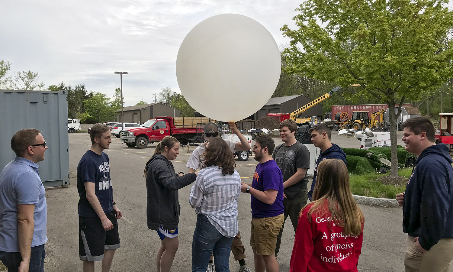 GEO 299 students prepare a weather balloon for release on campus. These weather balloons measure temperature, moisture, pressure and wind speed and direction as they travel upward in the atmosphere.
 -
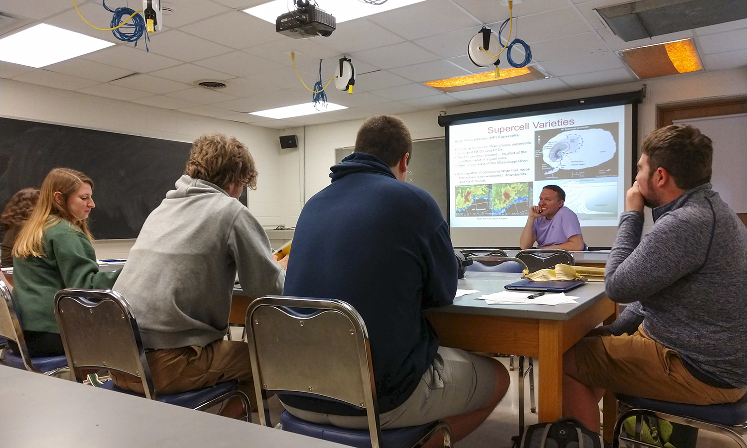 Prior to going into the field, students learn important background information about thunderstorms, severe weather, weather forecasting and safely observing and collecting measurements of severe weather. Here, Associate Professor of Geoscience Nick Metz leads a lesson.
 -
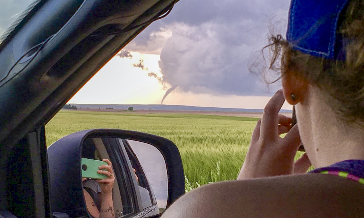 The group observes, ready to reposition, another view of a tornado produced by the Tipton, Kansas supercell thunderstorm.
 -
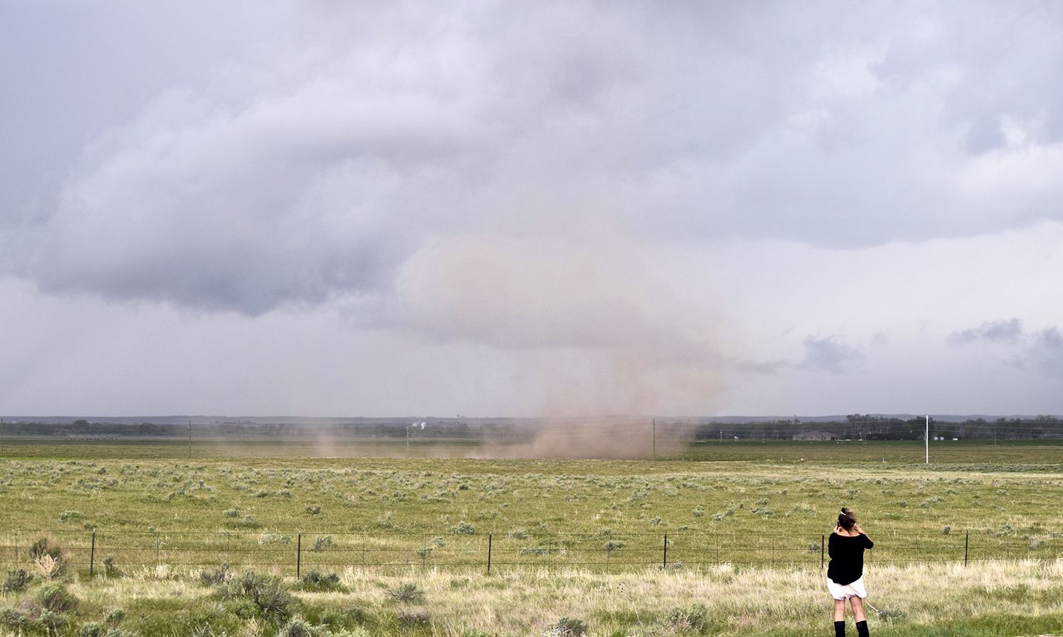 A gustnado, or a short-lived, shallow, spinning vortex of air, dust and debris occurs under an approaching thunderstorm near Sterling, Colorado.
 -
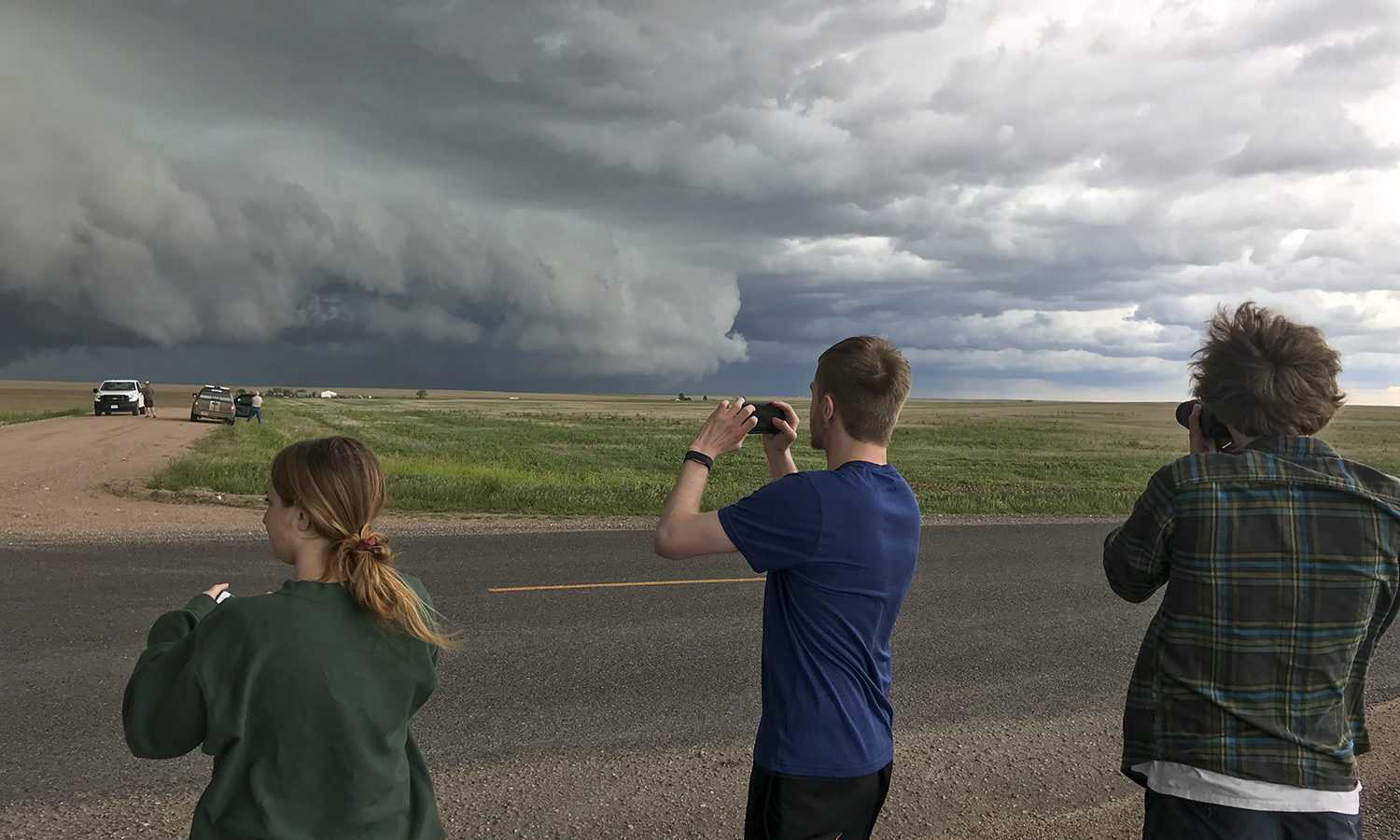 Darby Johnson 19, Patrick McMillan 21 and Ian Beckley '20 photograph an approaching severe thunderstorm near Sterling, Colorado.